Evaluating Urban Community Sustainability by Integrating Housing, Ecosystem Services, and Landscape Configuration
 Image credit: Haowei
Abstract
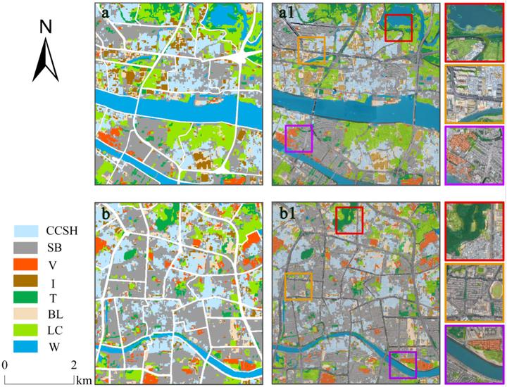
Community is the core spatial unit for evaluating sustainable development. However, single data and method seem inadequate for conducting a scientific, effective, and innovative sustainable evaluation of complex community units. In this study, we perform a sustainable-oriented land use scheme using multisource remote sensing, machine learning, and object-based post-classification refinement. Furthermore, we assess the sustainability of the traffic community by data-driven and combined housing, ecosystem services, and landscape configuration. The results indicated that (1) the relationship between housing, ecosystem services, and landscape pattern has obvious synergistic effects, although with dissimilar importance in different sustainability levels. High sustainability level is intensely coordinated with landscape configuration, medium sustainability level is more affected by ecosystem services, and low sustainability level is more related to housing. (2) Community sustainability presents a significant spatial distribution. The communities of high sustainability level are mainly located in both sides of the Pearl River and emerging urban areas, while those of medium sustainability level are distributed sporadically in the study area and those of low sustainability level are concentrated in old towns. (3) Community transformation cannot be accomplished at one step. Along with the continuous optimization of landscape configuration, the priority should be given to housing reconstruction and improvement of ecosystem services further. We provide scientific and effective data-based evidence for urban decision-makers by integrating the advantages of the Earth Observation System and multifactor analysis.